Weather forecasting depends on having as much information as possible about what is happening right now. Without weather satellites, one of the most important pieces of that information would disappear.
Weather Forecasts Depend on More Than Weather Stations
When you check the forecast on your phone, you’re seeing the end result of a much larger system. Weather observations come from thousands of sources, including surface stations, radar, aircraft, weather balloons, ocean buoys, and satellites. Those observations are fed into numerical weather prediction models, which use physics and enormous amounts of computing power to simulate how the atmosphere will evolve.
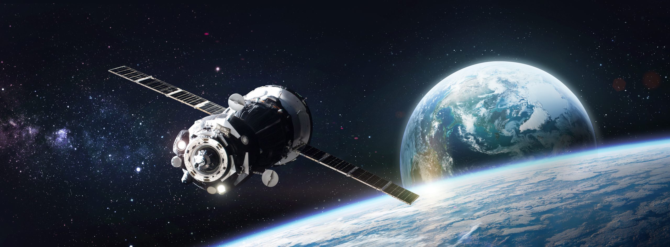
Satellites are particularly valuable because they can observe areas where other instruments can’t. Weather stations can measure conditions on land, radar can track precipitation and storms, and weather balloons collect information as they rise through the atmosphere. But none of these systems can provide the same broad view as a satellite.
From orbit, satellites can observe enormous areas at once. They can monitor cloud systems, track developing storms, measure atmospheric conditions, and provide observations over remote regions and open water. Much of Earth’s surface is covered by ocean, where there are far fewer conventional observation points than there are on land.
There Isn’t Just One Kind of Weather Satellite
One of the most interesting things about weather satellites is that different satellites do different jobs. NOAA’s geostationary satellites remain over roughly the same location on Earth, allowing them to continuously monitor the same region. They sit about 22,300 miles above the equator and can provide frequent updates as weather systems develop. They are extremely useful for watching rapidly developing weather because they continuously monitor the same area.
Then there are polar-orbiting satellites, such as NOAA’s Joint Polar Satellite System (JPSS). These satellites travel from pole to pole and collect detailed observations across the globe. JPSS satellites circle Earth roughly 14 times a day, providing global coverage twice daily. Their instruments can measure things that aren’t visible in an ordinary satellite photograph, including atmospheric temperature and moisture. Those measurements are important for forecasting.
Losing Satellites Would Mean Losing Data that Forecast Models Need
Weather models need an accurate picture of the atmosphere at the beginning of a forecast. The better scientists understand current conditions, the better the model can simulate what happens next. Polar-orbiting satellite observations are particularly important. NOAA reported in 2026 that low-Earth-orbit satellite observations provide more than 80% of the data used in numerical weather prediction models for 3-7 day forecasts. Instruments aboard JPSS satellites measure temperature and moisture at different levels of the atmosphere, helping create detailed three-dimensional profiles. While we would still have forecasts, they would be missing key points of information.
What Happens Without the Data?
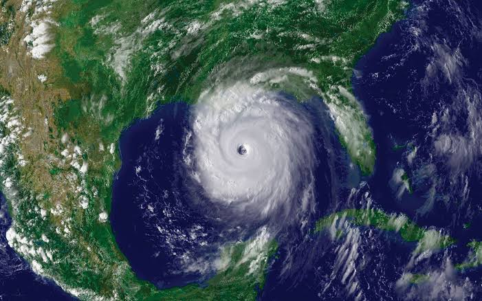
We don’t have to completely shut down the satellite network to see what losing satellite observations can do, because researchers have tested it. After Hurricane Sandy, the European Centre for Medium-Range Weather Forecasts ran an experiment that removed polar-orbiting satellite data from its forecast model and compared the results with the forecast that included the satellite observations.
The results were drastic. The forecast using the satellite data correctly showed Sandy making its infamous turn toward the northeastern United States. The forecast without the polar-orbiting satellite data kept the storm farther out to sea. The experiment also affected predictions of the storm’s intensity. While satellites didn’t single-handedly predict Sandy’s path, it goes to show how important information from space can influence a forecast.
Hurricanes Wouldn’t Be the Only Problem
Hurricanes make an easy example because they’re drastic, but weather satellites support more than tropical forecasting.
Geostationary satellites can help detect and monitor:
- Developing thunderstorms
- Tornado-producing storms
- Heavy rainfall
- Flash-flood risks
- Lightning
- Wildfires
- Smoke and dust
- Fog and low clouds
- Atmospheric rivers
- Snow and ice
Polar-orbiting satellites contribute another layer of information, including detailed observations of the atmosphere, land, and oceans that support forecasts several days into the future. Losing satellites would create hundreds of information gaps across the observing system.
What Would You Notice?
The effects probably wouldn’t look like the end of weather forecasting. Instead, the forecasting system would gradually become less informed. Some forecasts could become less accurate, and developing storms could be harder to monitor. Forecast confidence could decrease. Areas with fewer conventional observations, particularly over oceans and remote regions, could be affected more significantly.
And when you’re dealing with severe weather, even small improvements in forecast accuracy or warning time can matter. A few extra minutes of warning before a tornado, or earlier detection of a developing flood threat is essential information that saves lives by providing better information for emergency managers deciding where to position resources.
The Bigger Picture
The strength of modern weather forecasting comes from bringing together information from multiple resources, feeding them into sophisticated models, and continually updating our understanding of what the atmosphere is doing. Satellites give that system something difficult to get anywhere else: a view from above that covers enormous areas of the planet, including places where other observations are sparse.
So if weather satellites disappeared tomorrow, we would still have weather forecasts. They just wouldn’t be the forecasts we’re accustomed to having. We rely on our current weather forecast systems because they give scientists and forecasters information about a planet that is simply too large, too dynamic, and too difficult to observe from the ground alone.
About IBSS
Since 1992, IBSS, a woman-owned small business, has provided transformational consulting services to the Federal defense, civilian, and commercial sectors. Our services include: environmental science and engineering (including oceans, coasts, weather, and satellite), cybersecurity and enterprise information technology, and professional management services.
IBSS is committed to service excellence – to our clients, employees, partners, and the global community as a whole. We proactively create value through science, technology, innovation, agility, and adaptability.