What Is Coastal Modeling?
Coastal modeling uses computer-based simulations to represent how physical processes interact in coastal environments. Scientists can use models to study everything from waves and currents to flooding, erosion, sediment movement, and storm impacts. Rather than relying on observations from a single location or moment in time, models allow researchers to explore a much broader range of conditions.
For example, scientists can use a model to examine how a coastline might respond to a major storm, how water could move through a coastal area, or how shoreline conditions have changed over decades. Models do not replace real-world observations. Instead, they help scientists make better use of them.
Data Is at the Heart of Coastal Modeling
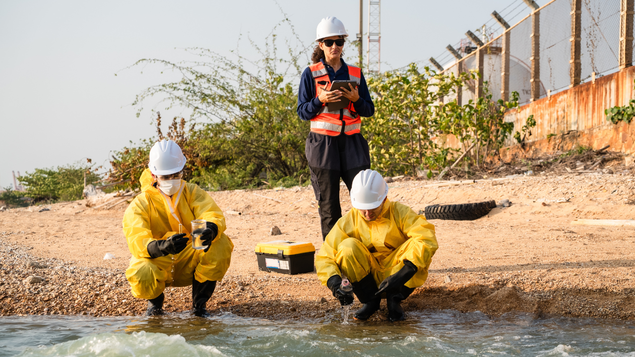
A model is only as useful as the information that supports it. Scientists draw on a wide range of data to develop, test, and improve coastal models. This data can include measurements from buoys and monitoring stations, satellite imagery, water levels, wave observations, topographic and seafloor measurements, weather data, historical shoreline positions, and field observations. NOAA’s Digital Coast, for example, provides access to more than 3,600 datasets covering topics such as elevation, imagery, oceanographic information, shoreline and surface water, water quality, marine habitats, and weather and hazards.
This variety of information is important because coastal systems are interconnected. A change in one part of the system can influence conditions somewhere else. Scientists can bring these different sources of information together to build a more complete picture of what is happening along the coast.
Models Help Scientists Understand Coastal Change
Coastlines are not static. Beaches, dunes, wetlands, barrier islands, and other coastal features can change over time, sometimes gradually and sometimes dramatically during a major storm. The United States Geological Survey (USGS) uses observations, modeling, and prediction to study coastal hazards including beach and dune erosion, long-term shoreline change, and sea-level rise. Its National Assessment of Coastal Change Hazards combines historical observations with model simulations to better understand coastal vulnerability.
One example of a coastal hazard is shoreline change. Scientists can compare historical shoreline positions with newer measurements to identify where beaches are eroding, where shorelines are advancing, and where significant changes are occurring. USGS maintains shoreline information based on sources ranging from historical aerial photographs and topographic surveys to modern lidar and digital elevation models. These records provide valuable information about what has happened. Modeling can then help scientists investigate what those patterns could mean under different conditions.
Modeling Storm Impacts
Some of the most dramatic coastal changes occur during hurricanes and other major storms. Strong winds, storm surge, waves, and currents can rapidly reshape beaches and dunes. In extreme cases, storms can cause overwash, inundation, erosion, or even breaches in barrier islands. Models can help scientists examine how these forces interact.
This type of modeling can provide information that is difficult to gather through observation alone. Scientists cannot place instruments everywhere a storm may affect, nor can they recreate every possible storm scenario in the real world. Models allow them to explore a wider range of possibilities.
Why Coastal Modeling Matters to Communities
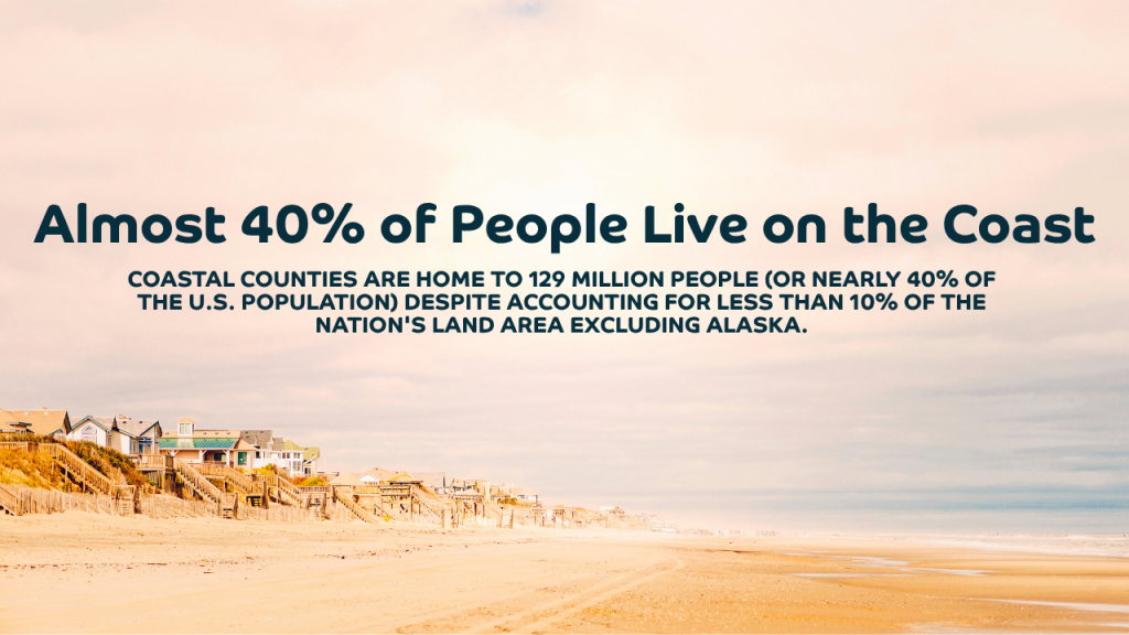
Understanding coastal environments is important not only for researchers. It also matters to the communities, businesses, infrastructure, and ecosystems located along the nation’s shores. According to NOAA, coastal counties are home to 129 million people (or nearly 40% of the U.S. population) despite accounting for less than 10% of the nation’s land area excluding Alaska. Those counties also produce approximately $10 trillion in goods and services each year and employ 54.6 million people.
With so many people and economic activities concentrated along the coast, better information about coastal conditions can support decisions involving infrastructure, emergency preparedness, environmental management, transportation, fisheries, and community planning.
Modeling can help answer questions such as:
- How might a storm affect a particular coastline?
- Where could flooding or erosion occur?
- How quickly is a shoreline changing?
- How could waves and currents affect sediment movement?
- Which areas may be more vulnerable to coastal hazards?
- How can communities use available data to better understand potential impacts?
The answers depend on the quality of the underlying observations and the ability to translate those observations into useful information.
Advancing Coastal Science Through Data and Technology
At IBSS, understanding complex environmental systems requires a multidisciplinary approach. Our work brings together environmental science, engineering, technology, and data expertise to support the organizations working to better understand our oceans and coasts. From collecting and managing environmental data to applying technology and scientific expertise, these capabilities help turn observations into meaningful information.
Because when it comes to understanding our coasts, better data is only the beginning. The real value comes from knowing how to use that data to answer important questions, support sound decisions, and advance our understanding of the environments around us.
About IBSS
Since 1992, IBSS, a woman-owned small business, has provided transformational consulting services to the Federal defense, civilian, and commercial sectors. Our services include environmental science and engineering (including oceans, coasts, weather, and satellite), cybersecurity and enterprise information technology, and professional management services.
IBSS is committed to service excellence – to our clients, employees, partners, and the global community as a whole. We proactively create value through science, technology, innovation, agility, and adaptability.
Keywords: coastal environments, coastal science, coastal modeling, coastal changes